
Traditional inventory methods to map underwater vegetation, such as snorkeling and scuba diving, are expensive and time consuming. The level of detail is high, but the geographical extent is very small. It would take a long time and cost a fortune to map the whole project area in such a detail. The aim of this activity is therefore to explore and develop remote sensing methods for mapping and monitoring shallow coastal areas in our project area.
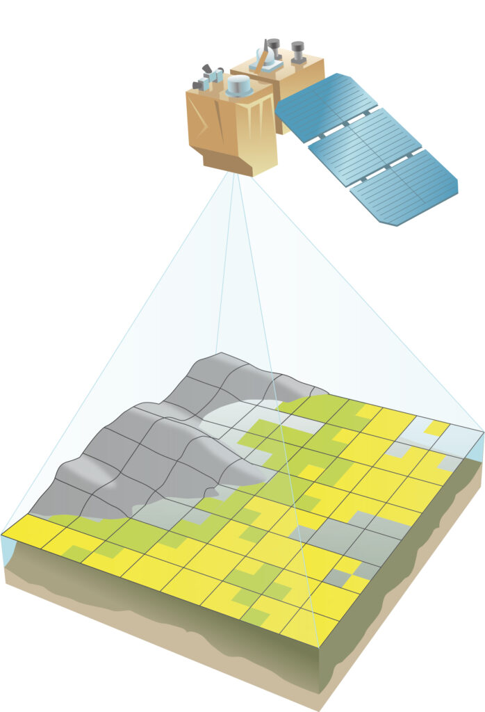
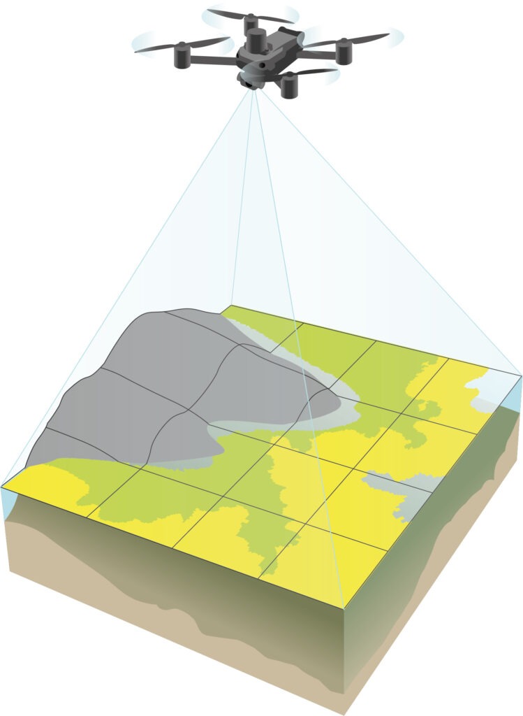
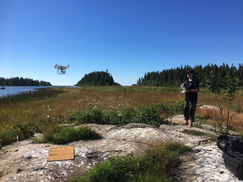
These remote sensing methods include drone and satellite imaging as well as acoustic methods such as sonar combined with snorkeling. Methods that enable us to map large areas in short time while combining them with traditional mapping for more detailed information. We will also try using floating drones to map vegetated areas in very shallow waters with bad visibility and brown water, the kind of waters that are typical for the project area.
In the end of the project, we hope to have mapping and monitoring methods developed for local conditions in the project area and for species of interest (threatened and invasive species). Suitable methods will be summarized in a manual towards the end of the project. We also aim to produce harmonized maps of the project area with satellite derived sea bottom properties such as depth, underwater vegetation, and bare bottom.