The aim of this activity is to gather and organize available relevant marine data from the project area so that we can identify where the largest knowledge gaps are. We need to identify knowledge gaps both geographically as well as temporally in order to know what type of marine data is needed to gather more of in activity 2.
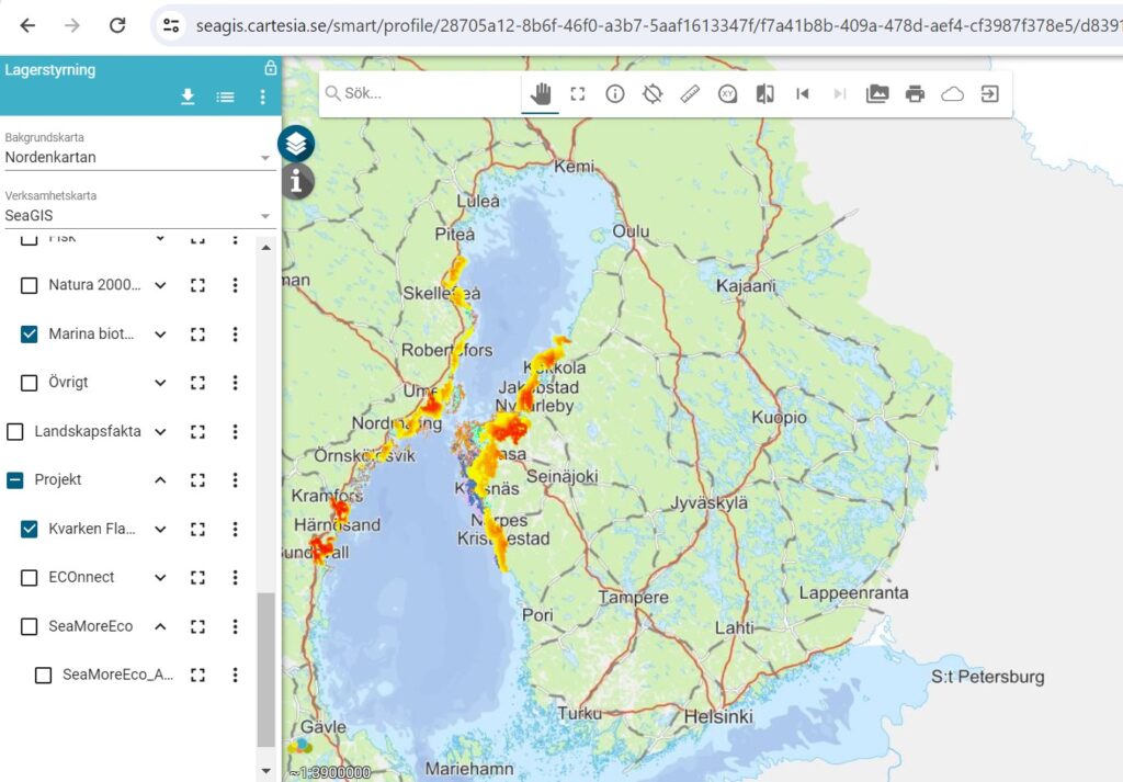
There are still large knowledge gaps of the distribution of marine species and habitats in the project area, something this project aims to change. At the same time a large amount of data has already been collected by different authorities and earlier EU-funded cross-border projects such as SeaGIS, Kvarken Flada, SEAmBOTH and SeaCOMBO, but the data is not well organized and is stored in different places.
In this activity we will collate, harmonize, and make data gathered during the project available in databases and in the cross-border online map service (SeaGIS). The goal is that all relevant marine data from our project area will be available for everyone. This includes species distribution data in the project area, with focus on invasive and endangered species as well as abiotic data such as salinity. Also, other results from this project such as satellite derived data from activity 3 will be published as layers in the SeaGis map portal at the end of the project.